
Community & Business Maps
Londonderry employs a comprehensive Geographic Information System (GIS) to assist with site identification, review and analysis. The Town has extensive information on land characteristics and has easy access to submitted plot and site plan information.
For more information, or assistance with specific sites, please contact Mike Bazegian, GIS Manager/Comprehensive Planner by email or phone (603) 432-1100 x128.
Below are commonly referred-to maps that depict the economic characteristics of Londonderry.
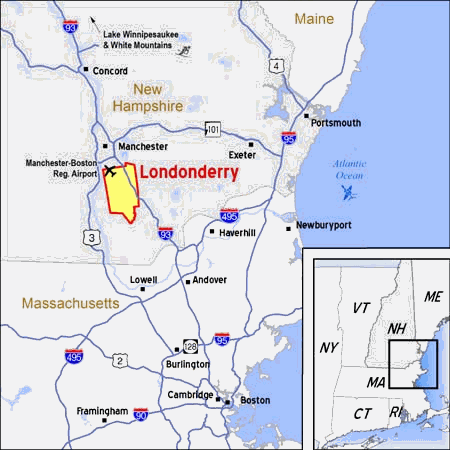
 Community Location (Google)
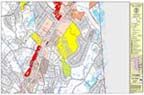
 Town Base Map
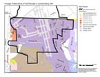
 Town Tax Maps with Zoning Districts,2018
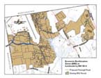 NH Economic Revitalization Zone (ERZ) Designated Parcels
![]() Manchester-Boston Regional Airport
Manchester-Boston Regional Airport
 Foriegn-Trade Zone (FTZ) Parcels
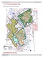 Woodmont Commons Master Plan Information Graphic
 EcoPark District

 Outdoor Recreation Guide